Beaver Populations and Flood Resilience

in the Western Lake Superior Watershed

As the climate warms and changes due to the ever-increasing amount of greenhouse gases in the atmosphere, the Upper Midwest has seen an increase in storm cells which release large amounts of precipitation over localized areas in a short amount of time, at times causing extensive flood damage.


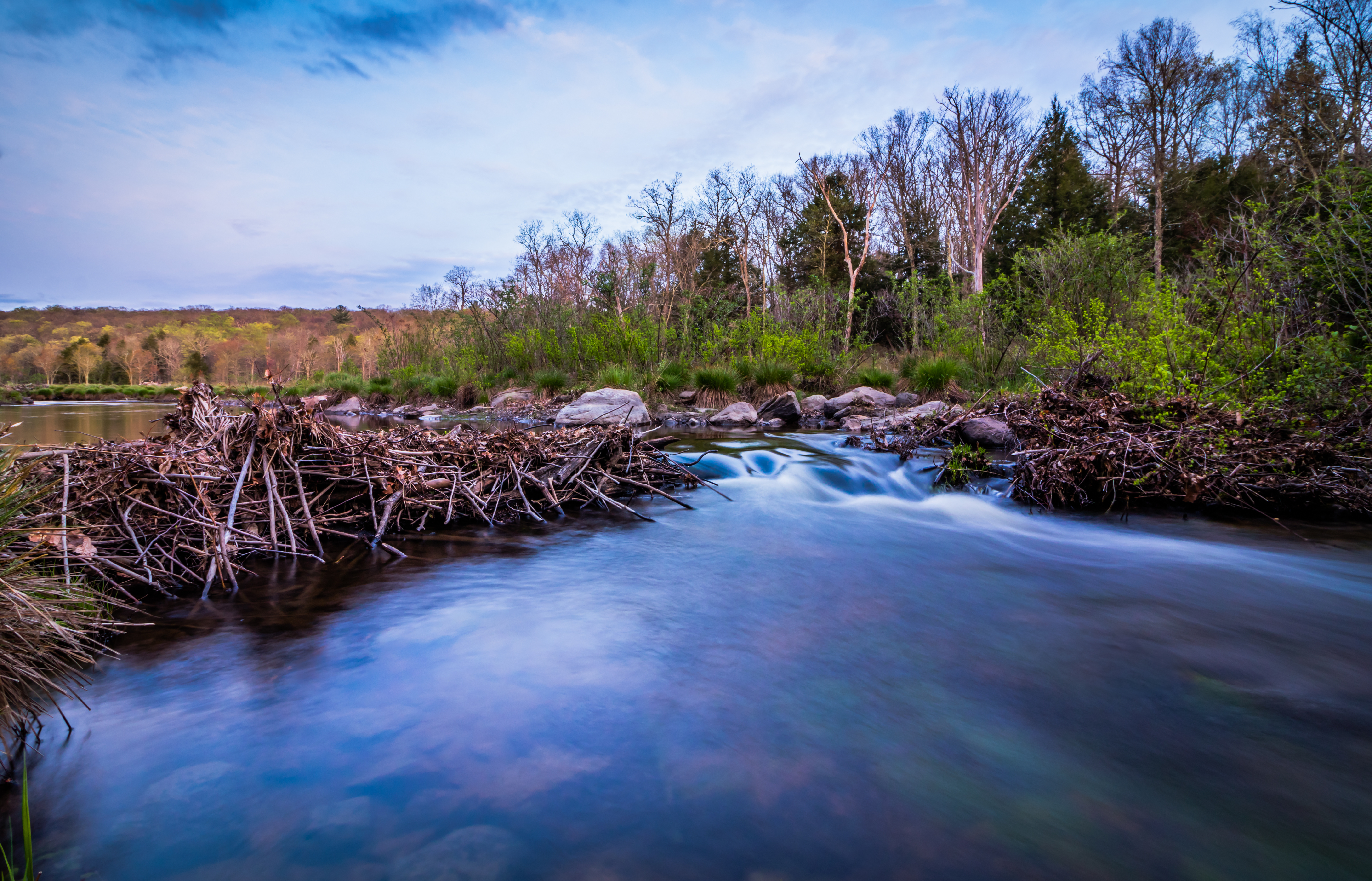
Prior to European settlement, the landscape of the Northwoods was dominated by beaver colonies along streams, their dams creating a network of braided rivulets which would spread rainfall across floodplains and into numerous wetland ponds. As humans have altered the landscape for agriculture and development, the tendency has been to funnel excess water into drainage ditches and swiftly flush it downstream. With the streams largely undammed, the volume of water passing downstream can swiftly grow out of control in a rainstorm event.


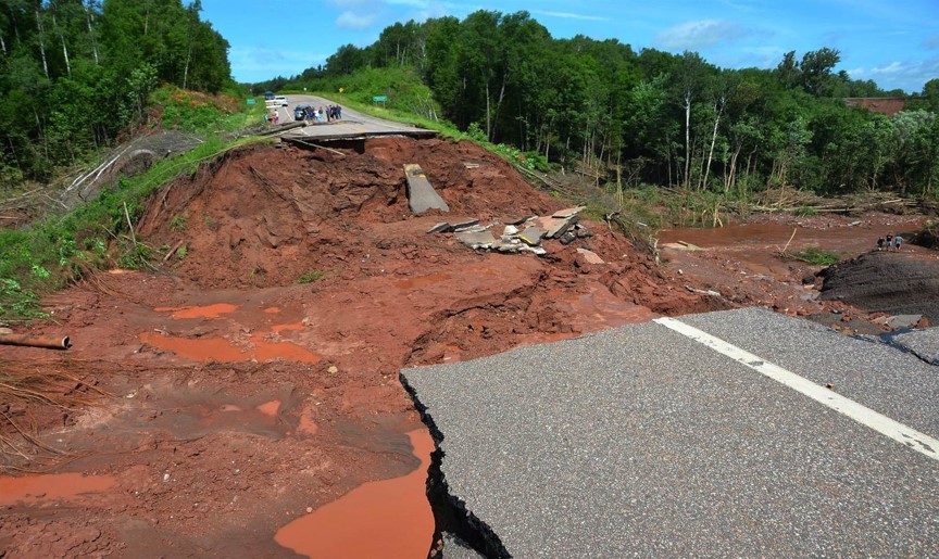
Ashland, WI saw one such storm on July 11, 2016, when around 10 inches of rain fell in 8 hours, effectively turning the Bad River into a firehose which completely washed out a section of US Hwy 2 in the Bad River tribal reservation:


Damage costs to infrastructure from flooding have been enormous recently, and are only expected to increase as "100-year" flood events occur more frequently. So how can we build more resiliency and stability into the landscape?


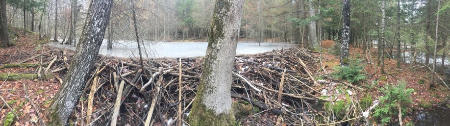
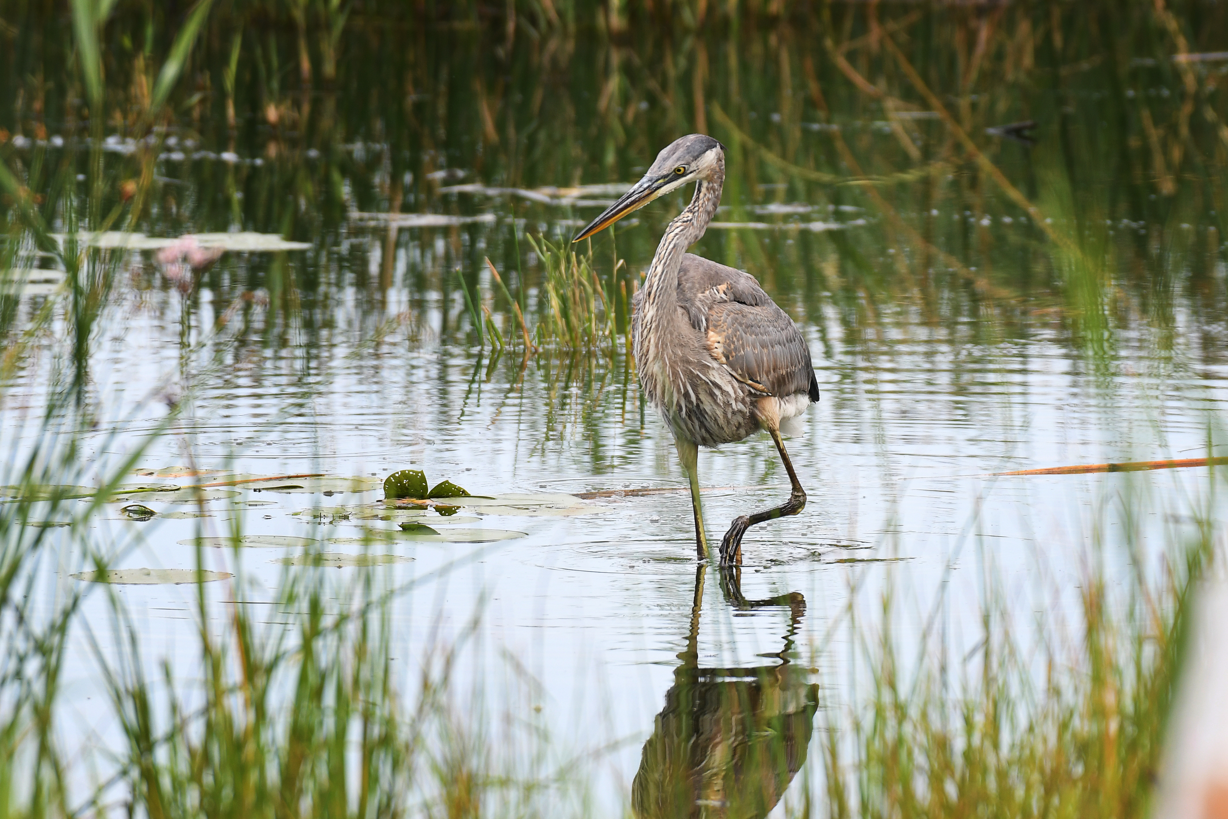
Beavers are keystone species in that they help define and build entire wetland ecosystems, thereby triggering trophic cascades of productivity and species richness. Beavers as ecosystem engineers create wetlands that support biodiversity and restore the hydrology of rivers, improving water quality and stabilizing watersheds. Because they are so impactful, beavers are not always welcomed by landowners, but the presence of beaver dams offers significant benefits:

Clearer, Cleaner Water

Beaver dams create floodplains which act like water treatment plants, filtering phosphorus, nitrates, and sediment - pollutants which would otherwise wash downstream and eventually cause 'dead zones' in large water bodies. When the wetness of the land is increased, its ability to remove nitrogen increases as well.


Biodiversity and Carbon Storage

Wetter lands also have much greater ability to store carbon, some 20-30 times greater than dry lands. Beaver ponds create habitat for other wildlife as well: Great Blue Heron rookeries, for example, are often found in beaver ponds.


Improved Water-Holding Capacity

Ponds created by beaver dams hold large volumes of water, slowing stream flow and spreading water into adjacent land. The result is an overall stabilization of the river to climatic instability, keeping reserves in times of drought and holding water back during flood events.


Our Study Area

The Western Lake Superior Watershed spans over 25,000 square kilometers of Northern Wisconsin and Northeastern Minnesota extending up into Ontario, all of which drains into Lake Superior. Wetlands and forests make up around 80% of the total land cover, making the area prime beaver habitat. The map below shows the change in extent from wetlands estimated pre-20th century compared to wetlands today; the amount of wetland area present shows potential for the addition of a huge amount of additional water storage capacity in the landscape. Additionally, as most wetland land use is not utilized for agriculture or development, much of the stream-adjacent land could be flooded without damage to infrastructure or crops.


Catchment Exploration Map

The map below portrays estimated beaver population capacity by catchment basin and allows for examination of a variety of environmental factors which may indicate a higher probability of beaver activity. Each of the filters selects those catchment basins at the highest end of the spectrum for that factor; the basins identified with the filters warrant closer examination. To provide further context, public and tribal lands are shown; layers representing impaired streams and topographic wetness are also available. Feel free to toggle layers or change basemaps - can you identify possible beaver dams and ponds in the satellite imagery?


Landscape Statistics Dashboard

Landscape statistics may also be explored via this dashboard. This histogram will dynamically update to display percentages of each land cover type in the map viewing area; select a catchment basin feature from the list to zoom the map to that feature.

Galen Kanazawa GIS Portfolio Superior Bio-Conservancy